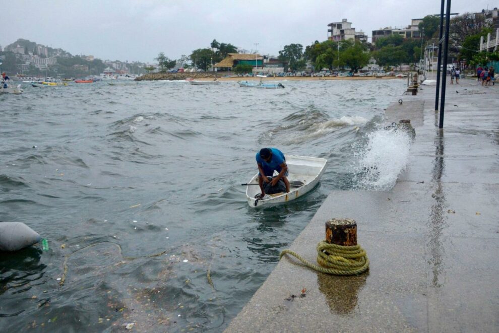
Concern is growing that Hurricane Hilary will unleash a prolific amount of flooding rainfall on the southwestern United States and parts of California as it makes a rare move over the region on Sunday and into early next week, triggering the first ever tropical storm watch for California.
“Hilary could dump more than a year’s worth of rain in parts of three states: California, Nevada and Arizona,” CNN reported. “Because of the threat, parts of California face a rare high risk for excessive rainfall. This Level 4 of 4 threat is the first to ever be issued for this part of Southern California.”
Hilary was a powerful Category 4 hurricane churning about 360 miles south of Cabo San Lucas, Mexico, Friday afternoon with sustained winds of 145 mph with stronger gusts, according to the National Hurricane Center.
Parts of Southern California were put under a tropical storm watch for the very first time Friday, as the hurricane grew to Category 4 strength and was poised to hit the region as a tropical storm as early as Sunday with significant and rare impacts, including heavy rainfall that could lead to extensive flooding, USA Today quoted forecasters as saying.
The hurricane center said it expects Hurricane Hilary to “still be a hurricane when it approaches the West Coast of the Baja California peninsula Saturday night” but will weaken to a tropical storm before hitting Southern California Sunday afternoon.
News of Hurricane Hilary barreling toward Southern California has drawn reminders of “El Cordonazo,” a tropical storm that hit the state nearly 84 years ago. “El Cordonazo,” which made landfall in Long Beach in September 1939, is the last tropical storm recorded in California, according to NBC News.
The storm “lost hurricane status shortly before moving onshore at San Pedro” and caused the greatest September rainfall ever in the area, the National Weather Service said in a document recounting the history of significant weather events in SoCal.


