


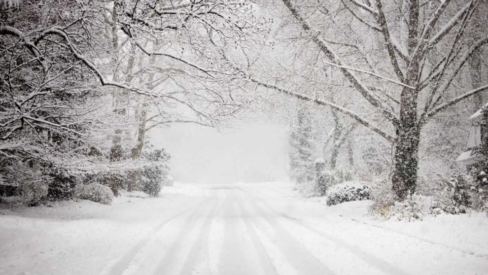
The Carolinas could see an active winter season with above-average precipitation including snowfall. Our first round of snow just before the winter season officially begins happened the second weekend in October for the mountains of North Carolina. Scientists at the National Oceanic and Atmospheric Administration are expecting the entire Southeast region to have more precipitation for the 2023-2024 winter season.
The biggest difference for this year may be the influence of a strong ENSO event, the El Niño Southern Oscillation pattern that corresponds to above-normal sea surface temperatures in the Equatorial Pacific along with the negative trending Southern Oscillation pressure pattern. This often means greater transport of moisture across the Southern United States. Currently, NOAA climatologists and forecasters believe there is up to an 85% chance for a strong El Niño event kicking off our first few months of winter.
Then, we may begin to see temperatures run below normal midway into the season providing other pressure patterns shift in our favor to drop some arctic air our way. If that happens, then snow might become more likely.
Our sister station WYFF’s Chief Meteorologist, Chris Justus said when it comes to the mountains, the cards are on the table for a very active winter for South Carolina and North Carolina. Chris said the data also shows the El Niño will be similar to the 2009-2010 winter, where we had 6.1 inches of snow.
The biggest wildcard this winter will be the warm water temperatures in the Atlantic. Chris said the unusually warm summer has the water temperatures running a bit warmer than normal. This warmer water could fuel snowstorms along the East Coast to make them even more impactful.
Chris said right now the pattern for December looks to be for rain to be common, and he said look for the highest snow chances in January and February.
Many of us like the idea of at least a little bit of snowfall for the holidays too. Do you remember the last time it snowed around the Christmas holiday in the Piedmont Triad? As the first snowflakes began to fall in Winston-Salem on December 25, 2010, I was so excited for my newborn son, Cody to experience his first touch of winter. The gift of snow on the holiday felt magical!
There are only a handful of dates since 1950 when there was more than a trace of snow. The most recent major Christmas snowstorm in the Triad happened in 2010. It’s the best Christmas snowfall within the last two decades as most of North Carolina was coated with six to eight inches of snowfall in the Northern Mountains; even the beaches received snowfall from a trace up to 12 inches of snow in the Northern Outer Banks.
Source: WXII 12